Each piece is sliced from survey-grade elevation and bathymetric data at up to one-metre resolution — the same maps used to chart the land itself. No two are alike, because no two stories are.
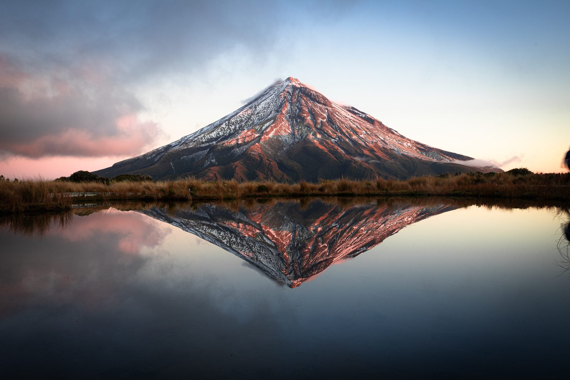
Land elevation from LINZ's national LiDAR programme at up to 1 m resolution — every ridgeline, terrace and river flat true to the ground.
Oak, walnut and birch ply, laser-cut and laminated by hand, with scorched edges left honest. A material that warms a room.
Designed and crafted in Aotearoa, shipped worldwide to those who carry their place with them.
Maps to Models was founded by a former marine scientist and divemaster — which is why our maps don't stop at the shoreline. Using hydrographic depth data, we carve lakes, harbours and coastlines downward too: Taupō's 186-metre basin, Wakatipu's glacial trench, the drowned valleys of the Sounds. Bathymetric relief is our signature, and almost nobody else in the world does it in timber.